Located at the end of Hart Rd.
In July 2017, Duxbury joined more than 100 other Vermont towns that have town forests. The Vermont Department of Forests, Parks and Recreation (FPR) had contacted the Duxbury Land Trust (DLT) in 2010 about the possible sale of two parcels of state-owned land at the end of Hart Road: the so-called “Father Logue property” and the “hospital block” of the Camel’s Hump State Park. However, FPR later asked the Town if there was interest in accepting this land from the state to be designated as a town forest. In 2015 residents at town meeting voted unanimously to accept the land. That started a process that included a joint resolution by the Vermont Legislature approving the land transfer to the town for use as a town forest for forestry, conservation and recreational uses. Finally, in 2017, FPR transferred 169 acres to the Town of Duxbury, with a conservation easement held by the Duxbury Land Trust.
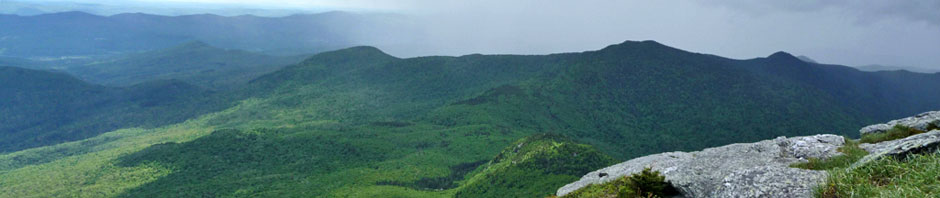
The 169 acres combines the former Father Logue children’s camp and land managed by FPR as a non-contiguous part of Camel’s Hump State Park. The parcel contains many natural features including: hemlock-northern hardwood forest, bedrock outcrops, numerous small waterfalls, headwater streams, vernal pools, wetlands and a pond. It provides opportunities for hiking, cross country skiing, snowshoeing, birding, and hunting.
The conservation easement stipulates the permitted and non-permitted uses necessary to protect the property for forestry, conservation and passive recreation in perpetuity.
The DLT played a key role in this endeavor. Alan Quackenbush, DLT Board Chair, participated in legislative committee hearings and worked with FPR to develop the conservation easement. He also served as Duxbury’s representative in completing the land transfer.
The Duxbury Selectboard has appointed a Town Forest Committee to develop a management plan for the property in accordance with the easement. A required component of the overall management plan is a forest management plan developed by a professional forester. Once the committee has developed its recommendations, with input from interested townspeople, an overall management plan for the property will be presented to the Selectboard.
Location of parcel in Google Maps
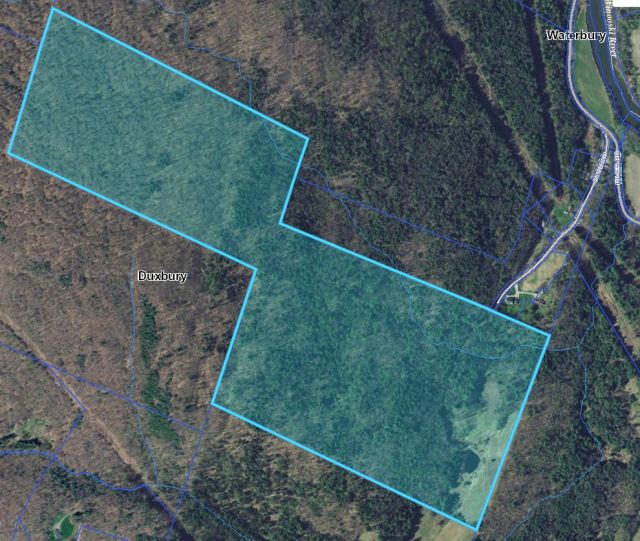 Map from ANR Natural Resource Atlas


You must be logged in to post a comment.